Victor Allory, PhD
Ecosystems & Carbon Engineer

VM0047 is Verra's new methodology for Afforestation, Reforestation, and Revegetation (ARR) projects to generate carbon credits. It introduces dynamic Performance Benchmarks and remote sensing data to assess additionality and ensure increased carbon sequestration. Kanop provides a solution aligned with VM0047, offering services like baseline determination, quantification of removals, monitoring plan development, and ongoing monitoring using satellite imagery and geospatial data.
Verra's new methodology for Afforestation, Reforestation, and Revegetation (ARR), VM0047 is a big step forward for ensuring the integrity and additionality of nature-based carbon removal initiatives. The methodology replaces and improves upon previous AR-ACM0003 and AR-AMS0007 methodologies by requiring key mechanisms like dynamic baselining
VM0047 provides guidelines for projects aimed at creating or restoring vegetation cover to generate carbon credits through atmospheric carbon dioxide removal. A key innovation is the use of dynamic performance benchmarks and remote sensing data to assess additionality, ensuring interventions effectively lead to increased carbon sequestration beyond natural regeneration or business-as-usual scenarios.
The methodology offers two quantification approaches:
VM0047 addresses criticisms of previous methodologies, particularly regarding baseline selection and acceptance of remote sensing tools, aligning with the voluntary carbon market's trend towards leveraging satellite data for biomass change analyses. Dynamic baselining through remote sensing enables more accurate reviews of additionality and general project performance, which is why Verra is pioneering change and turning the utilization of remote sensing tools into standard practice.
To comply with VM0047, project developers must source up-to-date geospatial data, including jurisdictional boundaries, ecoregions, policy environments, and land tenure information. These data are essential for defining the donor pool area which is the area where control plots will be selected and confronted to the project plots.
Kanop offers a solution that aligns seamlessly with VM0047. Our bespoke services cover various aspects of the methodology, including baseline scenario determination, quantification of estimated removals, and monitoring plan development.
For the area-based approach under VM0047, Kanop provides the following services and deliverables:
Throughout the process, we provide various data files, including GeoJSON, CSV, Excel, and Word documents, as well as access to our web application and API for monitoring and visualizing project and control plot data.
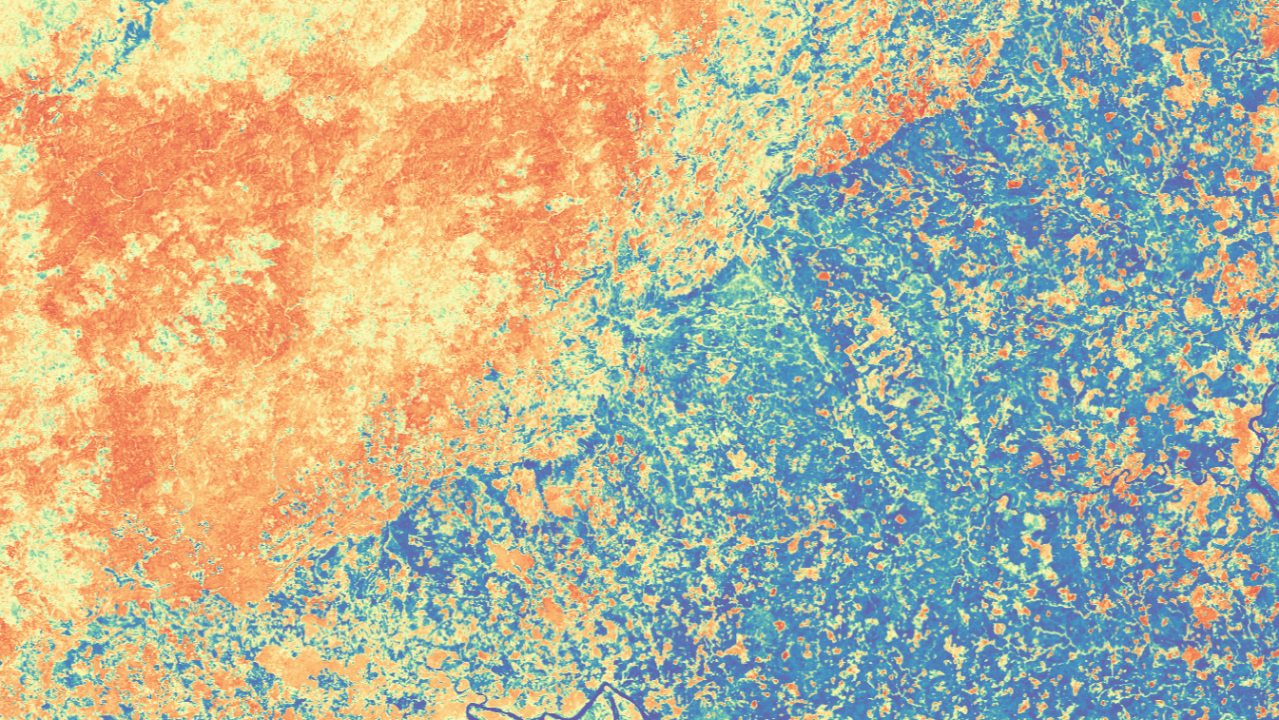
Utilizing satellite imagery and client-provided geospatial data, Kanop provides comprehensive insights into the project's impact, delivering essential outputs like satellite base maps, carefully selected project and control plots, and performance benchmark values. This empowers project developers with actionable data for informed decision-making and instills confidence in their projects.
As the voluntary carbon market continues to evolve, methodologies like VM0047 play a crucial role in maintaining the integrity and credibility of nature-based carbon removal projects. By leveraging innovative solutions like Kanop's assessment, project developers can future-proof their initiatives, ensuring compliance with the highest standards and accurately quantifying their impact on mitigating climate change.

